 This weekend we FINALLY got around to hiking Mount Pilchuck! This hike has been on our list since we moved to Washington, but for some reason we managed to hike multiple other hikes around it while avoiding this big one.
It’s actually not a ‘big one’ compared to most—it’s a little under six miles roundtrip and 2,120 feet of gain. However, you drive to 3,000 feet and hike to the fire tower at 5,300 feet, which makes the hike feel substantial while being fairly accessible. No wonder it’s so popular!
As we set out, Brian reminded me that he had read about Mount Pilchuck when we first moved here and were looking up nearby hikes. He saw someone comment on different types of hikes and how some hikes are rocky. The person commented, “I’m looking at you, Pilchuck!”
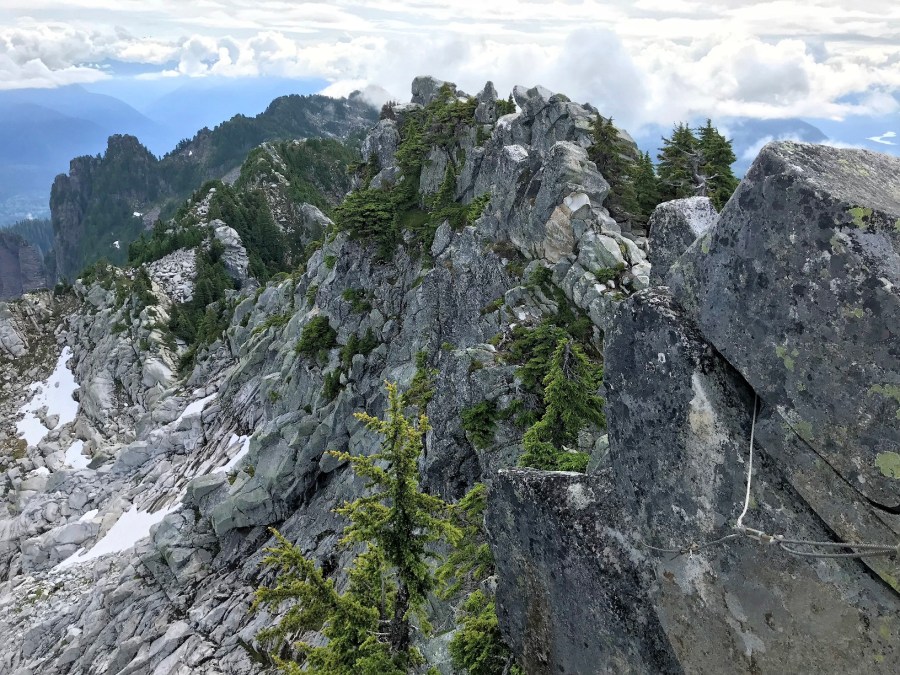
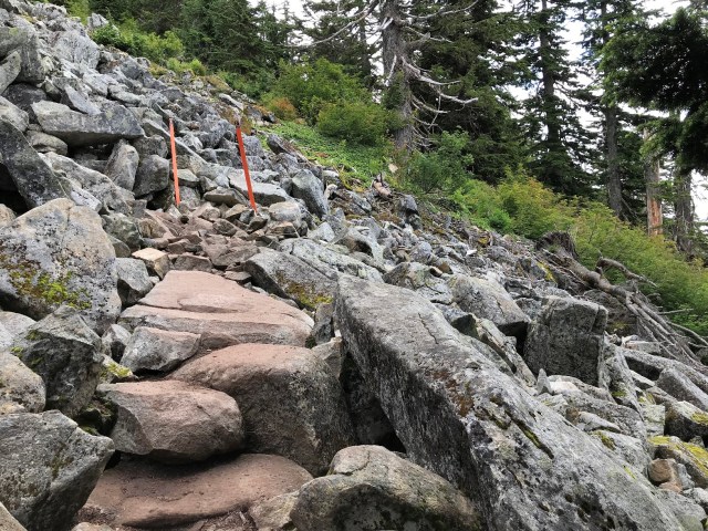
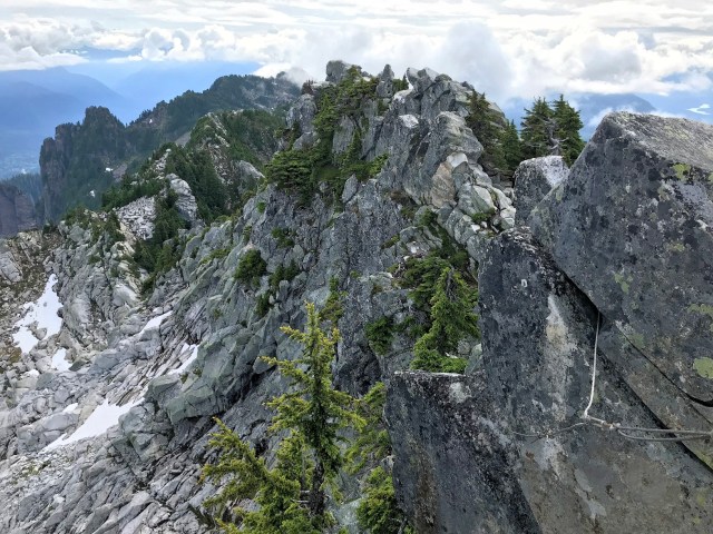
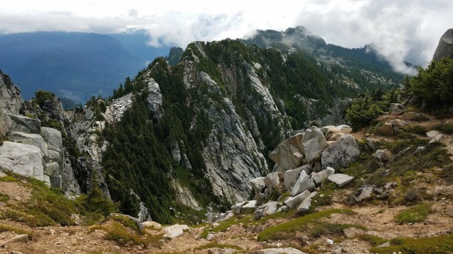
That person proved to be correct—the trail was varying degrees of rocky from beginning to end, but it was in pretty good condition and we ended up really enjoying it.
We set out early Saturday morning, making the hour drive to Granite Falls without any issues. Only once we were on the road to the trailhead did things slow down due to the HUGE potholes everywhere on the road. Brian was driving less than 10 mph and weaving all over to avoid the biggest ones and trying to take the medium and small ones as slowly as possible. It was by far the most treacherous part of our whole trip! I definitely recommend you build in some time to navigate the access road and to drive something with some suspension and ground clearance—I can’t imagine driving it in a small/low car.
By the time we arrived around 8 a.m. there were a few cars already parked and people hiking back out—some with blankets and sleeping bag who had clearly spent the night. We passed one couple early in our climb and only saw a handful of people afterward—quite different from the reports we had read. If you want to avoid the crowds, go early!
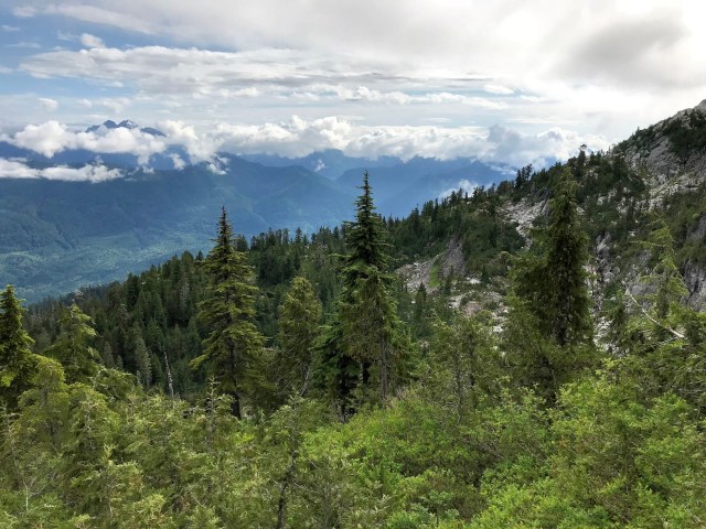
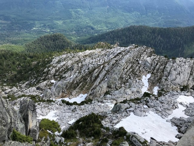
While we were heading upward the whole time, the elevation gain was moderate/consistent throughout the hike, unlike other hikes we’ve done where certain sections are flat and others extremely steep (see: the midsection of Lake Serene).
There were a couple of boulder fields we had to navigate, and I was thankful for the orange markers that pointed us in the right direction—it was really unclear which way the trail headed. These two-sided signs pointed toward the fire tower and toward the parking lot, providing helpful direction as we were hiking in as well as out.


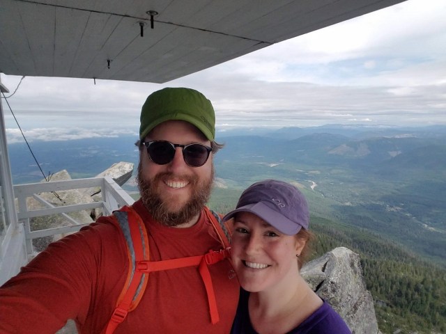
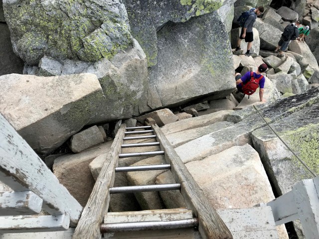
When we finally made it to the fire tower, I wasn’t sure I wanted to climb the boulder scramble to the ladder to climb up into the wooden structure (likely because I have PTSD from our rock climb at Mt. Si). Brian talked me into it, and before I knew it, I was climbing the ladder up to the fire tower deck.
Based on our experience at Heybrook Lookout, I didn’t expect much more than an amazing viewing platform at the top, but this fire tower–built in 1921!– has interesting historical photos and information inside!
We walked around the inside, learning more about the multiple methods they used to bring in the supplies to complete the tower and marveling at some of the winter photos where the snow was piled so high you could barely make out the tower’s roof.
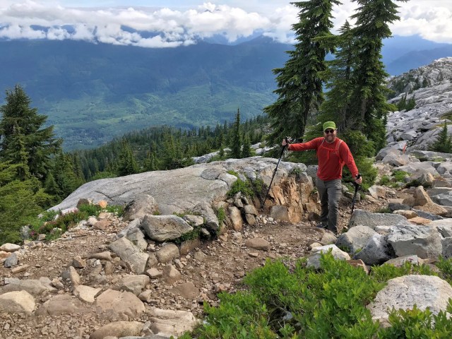
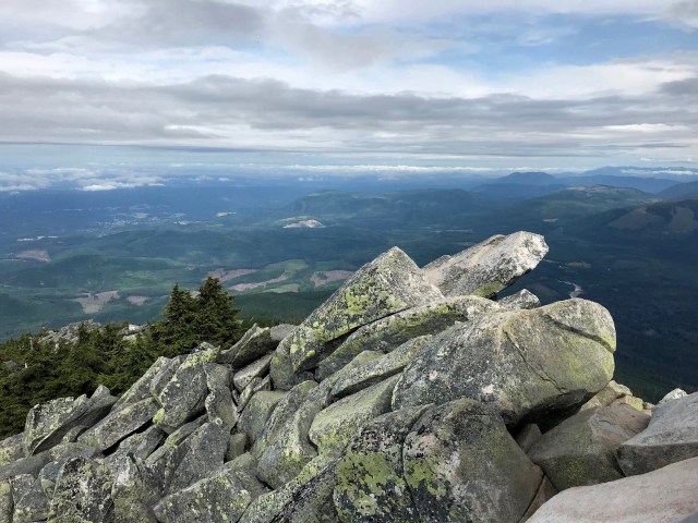
There is a covered deck that wraps around the outside of the tower that we also walked—despite the sky being a bit overcast, we could see for miles in all directions. Brian decided to climb out on a rock for his Instagram-worthy climbing photo—I took it fast so he could get back to safety!


After we had taken in the views and refreshed with some water and snacks, we climbed back down the ladder and boulders to the trail to make our way out.

It was getting really busy as we left and the parking lot was packed—although I was tired when we set out, I was glad we’d beaten the crowds and finally enjoyed this incredible hike at our own pace and before the heat of day set in.
Definitely recommend you add this one to your list!
