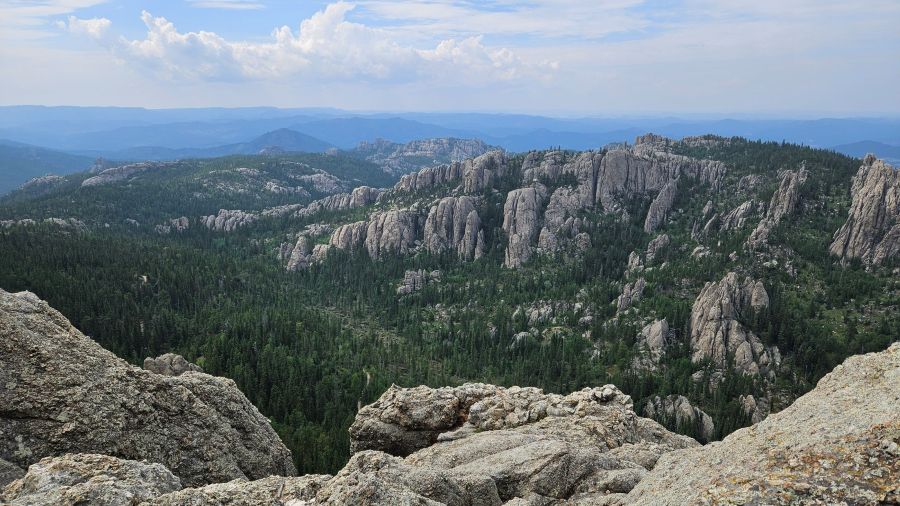
Mid-week we finally had a day where the temperature was less than 100 degrees so we headed for the (Black) hills to hike and camp near Sylvan Lake in Custer State Park.
We’ve enjoyed hiking in this area before – notably our recent hike to the top of Black Elk Peak, the highest point in the United States east of the Rocky Mountains.
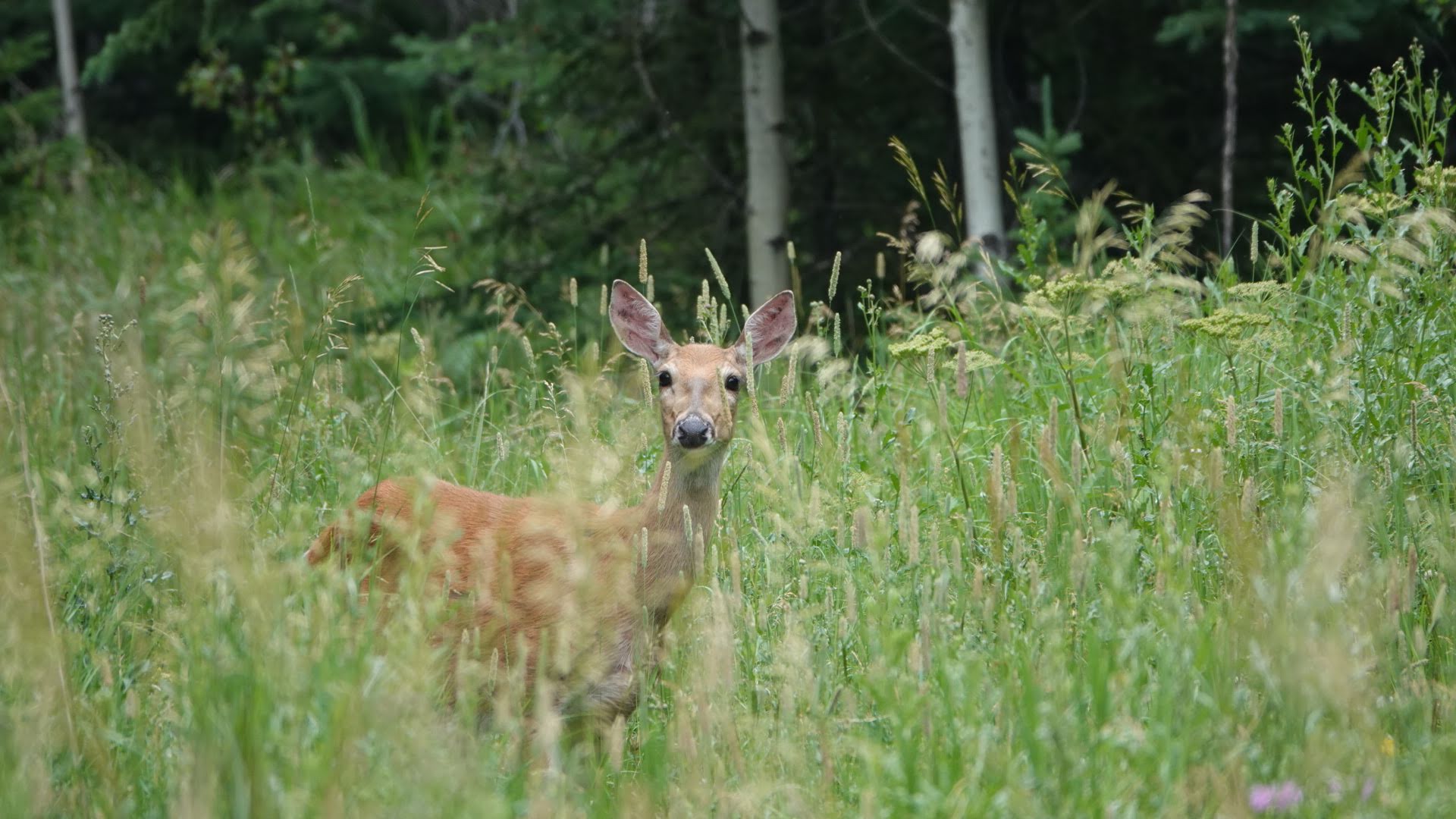
After parking by Sylvan Lake we set out on Trail No. 4, headed toward the Cathedral Spires trail. We hiked down the No. 4 when we completed our loop to Black Elk Peak so we were familiar with the stretch winding up through the woods, meadows, and rock formations to our cut over. Along the way we spotted white-tailed deer, butterflies, and tons of colorful wildflowers.
The No. 4 trail comes out near the traditional end of the Cathedral Spires trail if you begin that hike from the parking lot off of Needles Highway. We hiked out to the parking lot so we could officially hike the full trail and found the section of the Cathedral Spires trail between the parking lot and No. 4 trail uninteresting. The amount of loose rock and exposed tree roots required us to watch our footing rather than enjoy our surroundings.
The trailhead parking area was packed and with good reason – there are great views of the rock formations from that parking area, and it’s where 99 percent of people begin the Cathedral Spires hike.
We quickly made our about face, returned to the intersection of the No. 4 and Cathedral Spires trail, and hiked on to its terminus. The photos below show this section of the trail, which has great views of the spires. Much to Brian’s dismay, we came across what appeared to be a terrestrial gartersnake slithering off the trail into the bushes along the way!
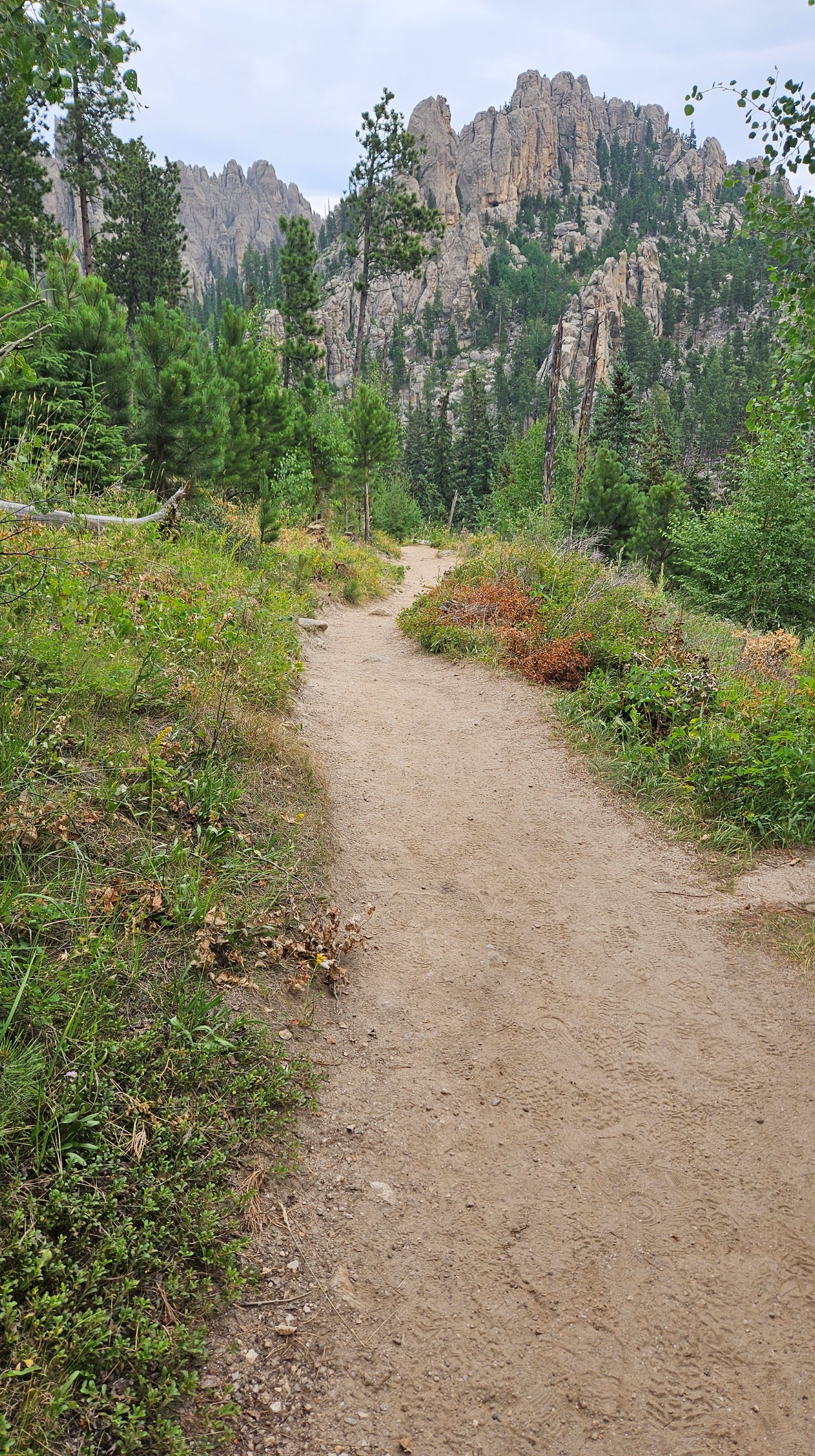
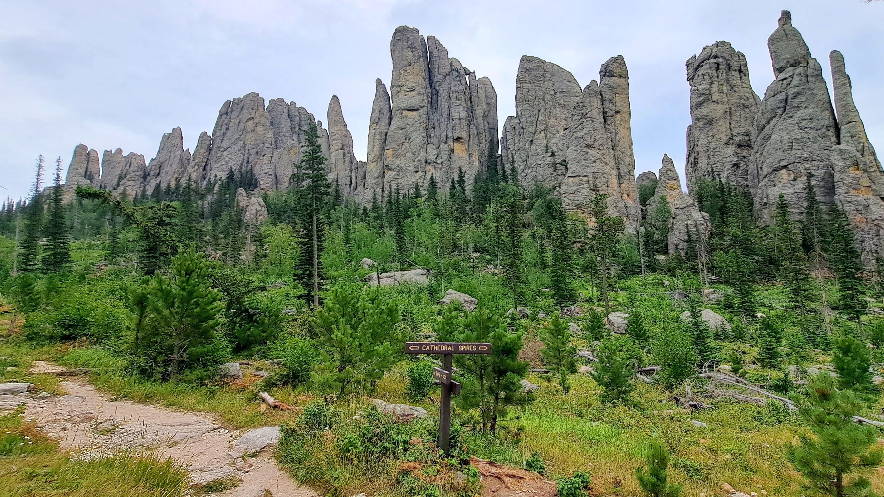
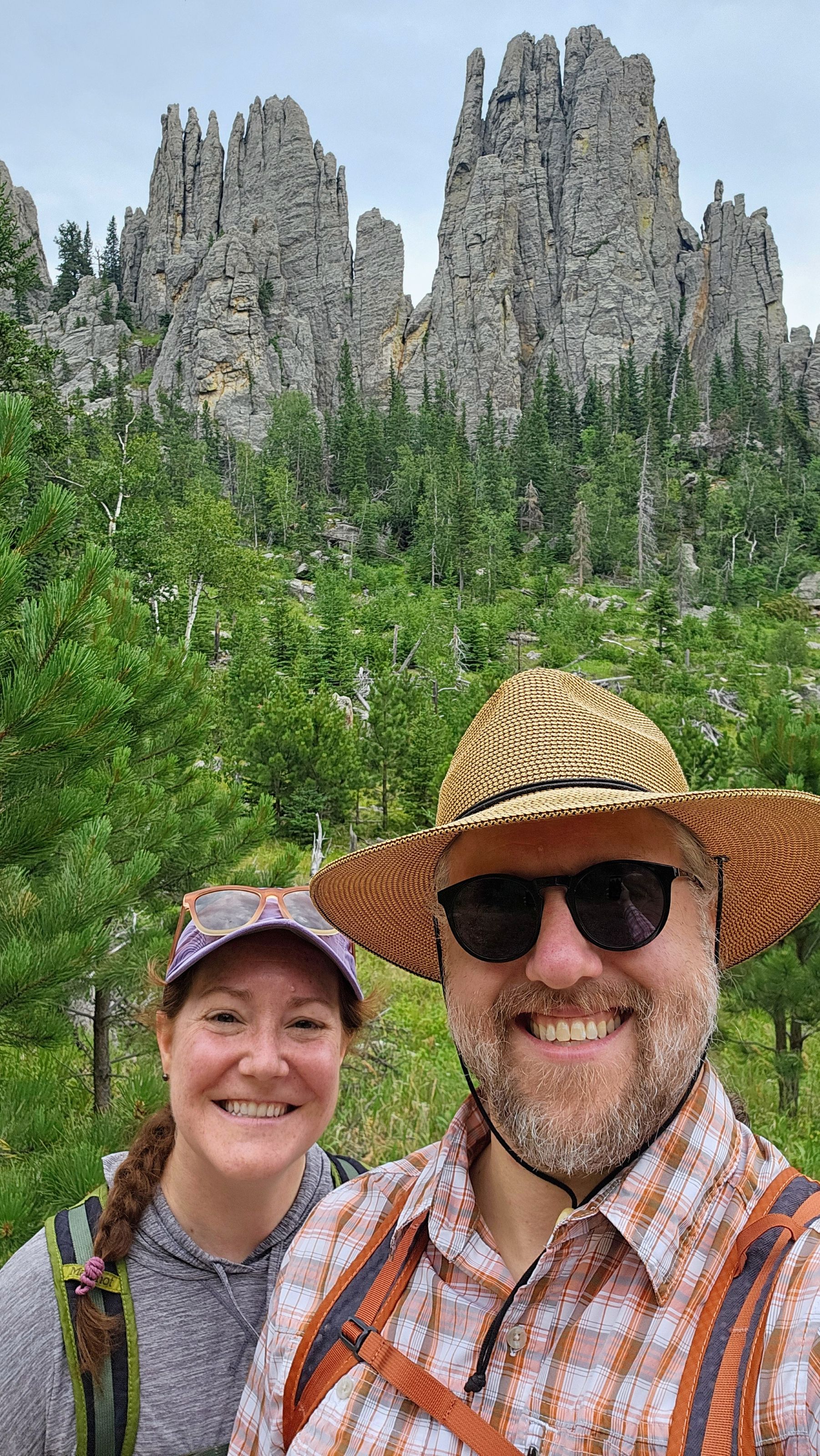
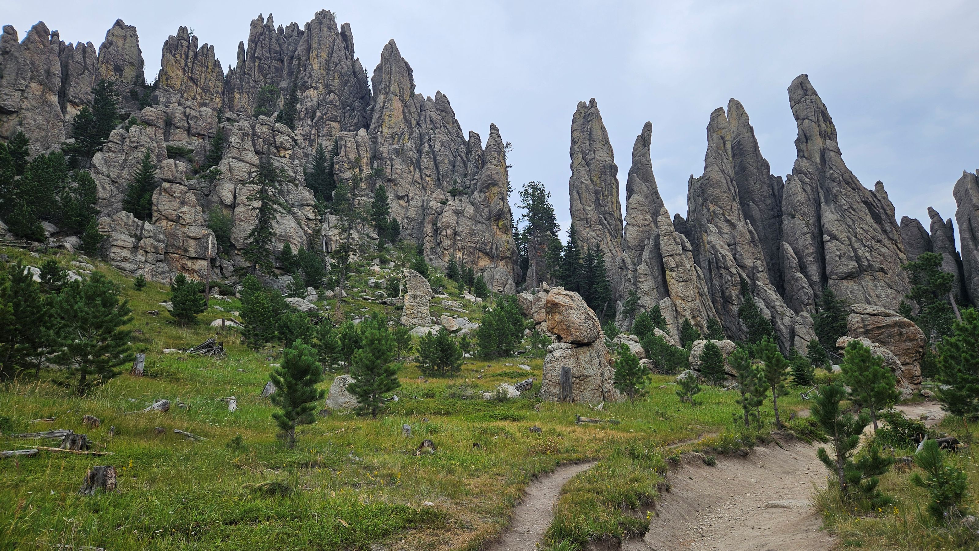
The Cathedral Spires trail was quite busy so we were happy to make our way back up the No. 4 trail and over to the Little Devil’s Tower trail, where we only encountered a handful of people.
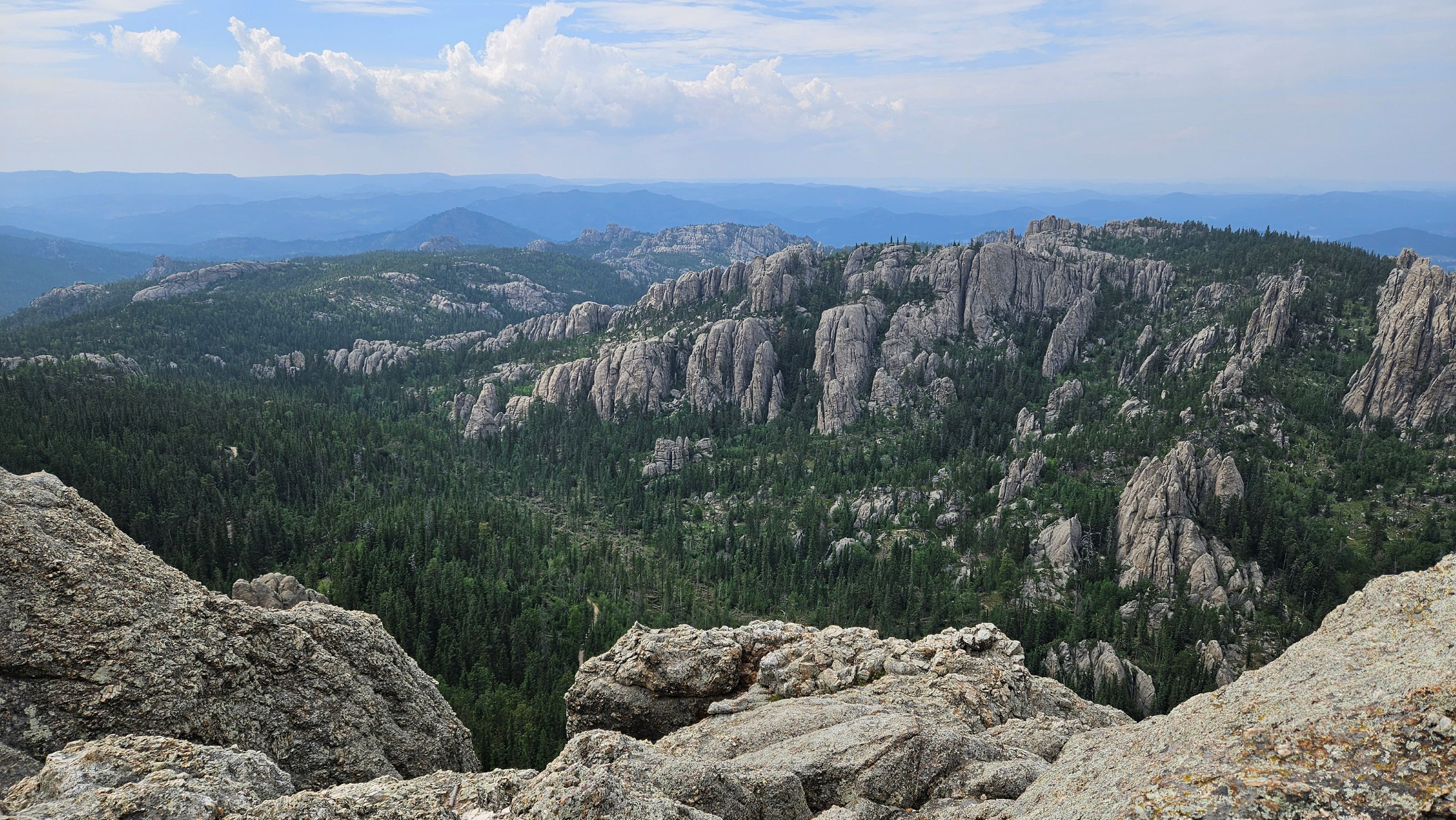
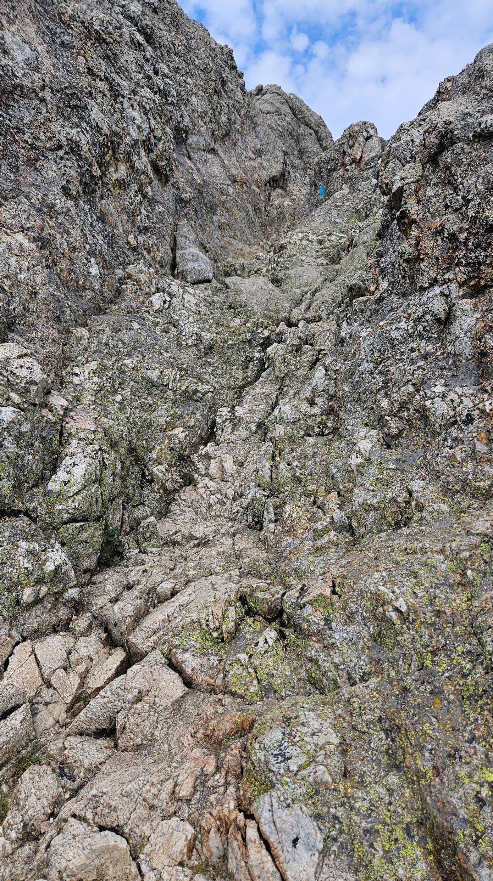
The few sprinkles we experienced during our Cathedral Spires hike had cleared up, and we started to catch awesome views of the surrounding area as we made our way to the final rocky section of the trail. The last half mile requires some scrambling, as you can see in the one photo below – a few sections where you need to pull yourself up, and then more open sections where you can walk the rock face, following the blue arrows that lead you to the top.
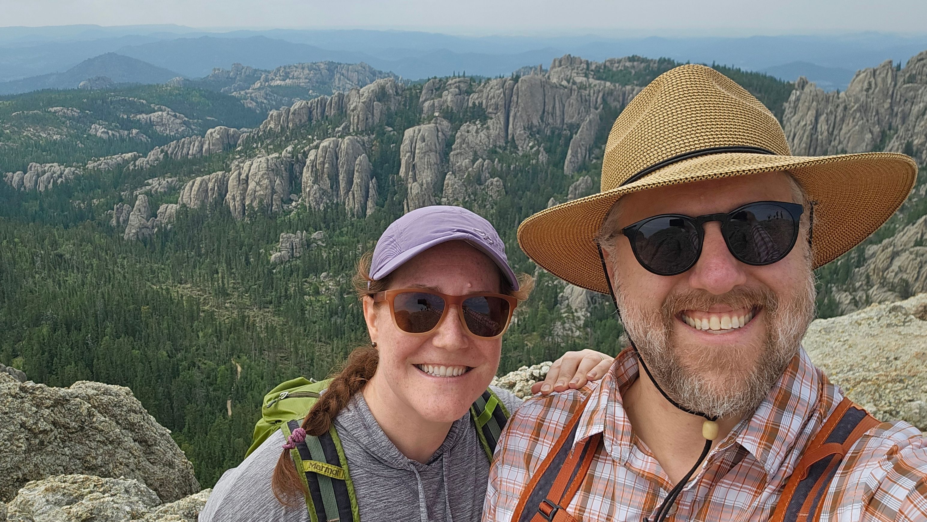
Despite the recent wildfire smoke, our climb culminated in epic views. We could even see the tower from Black Elk Peak in the distance!
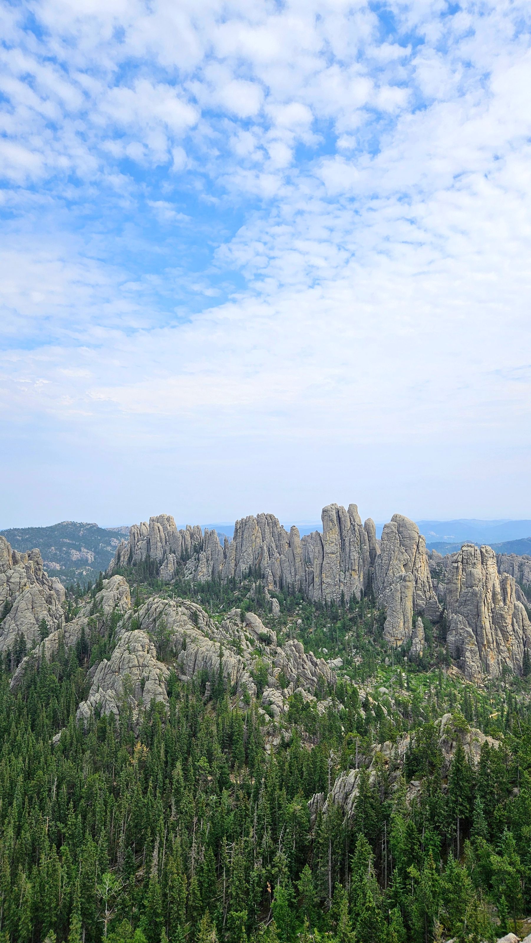
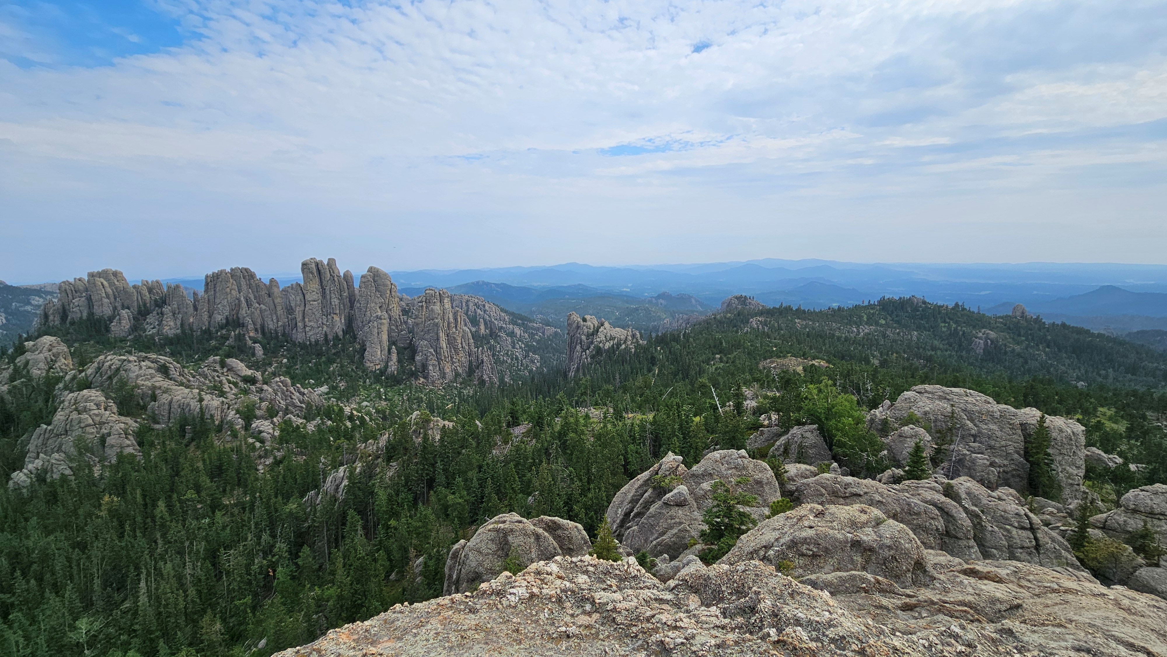
We took trail No. 4 back to Sylvan Lake to wrap up our hike. Overall our piecemeal hike ended up clocking in at 6 miles / 9.7 km and 1,322 feet / 403 meters of gain. We’ll definitely be back to hike in this area again soon!


Pingback: South Dakota Hikes: Sylvan Lake Loop – Heather's Compass