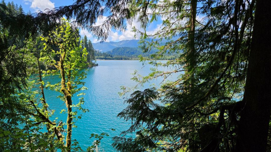
During our recent getaway to Seattle, we headed north and spent the long holiday weekend (and my birthday!) hiking in North Cascades National Park and around Mount Baker.
Our first morning we opted for a longer hike with minimal elevation gain as a warm up for the more challenging hikes on our list. We selected a trail along Baker Lake that’s 14 miles one-way and decided to make the Maple Grove Campground – at about 4 miles in – our turnaround point.
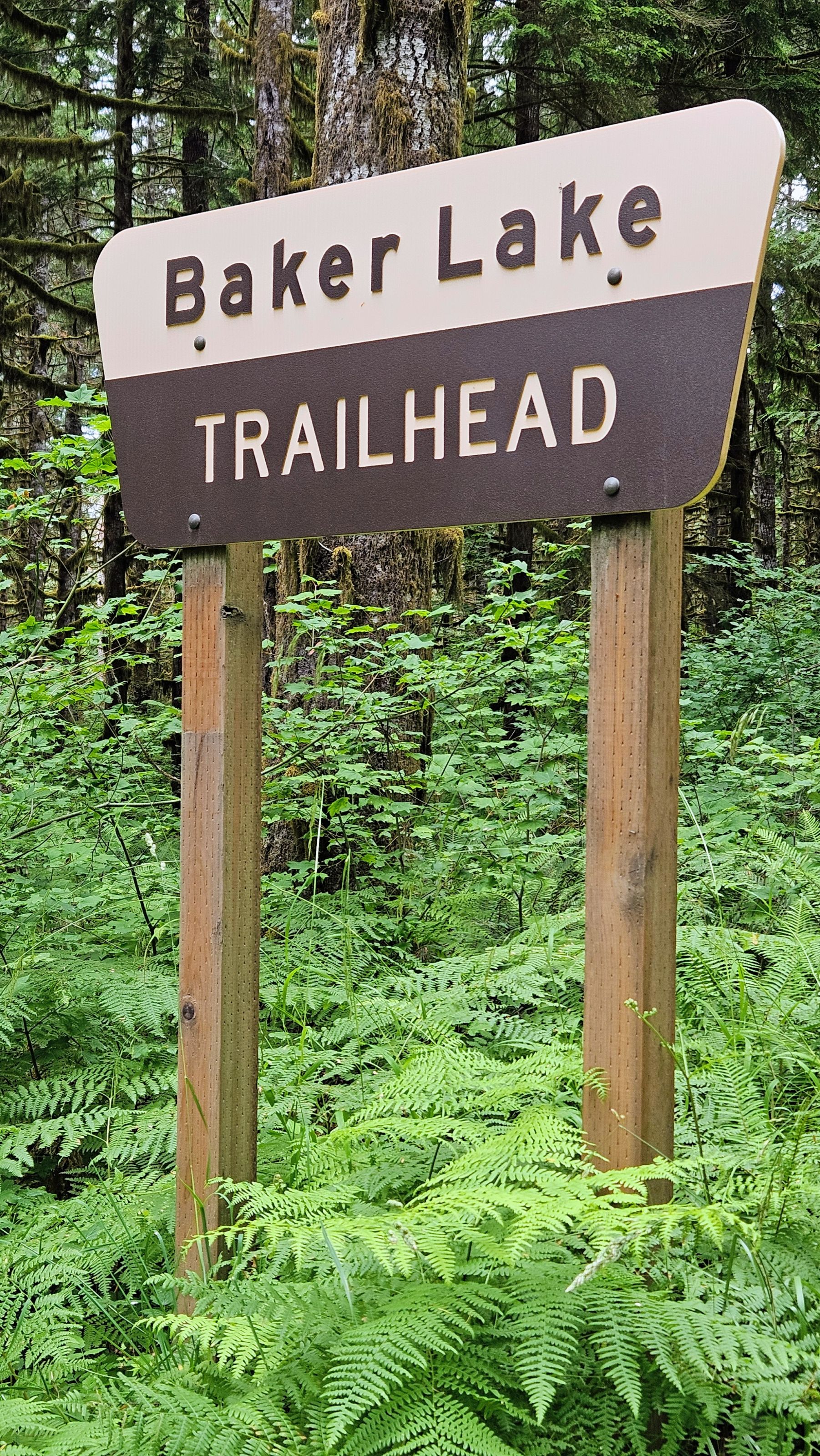
We didn’t have trouble getting to the trailhead and parking in the overflow area. The pit toilet was in decent shape (although WTA says there’s no toilet – there is one!), and the trail was clearly marked.
While the trail runs along Baker Lake, it is primarily forested and only offers a few glimpses of the lake from the campgrounds along the way.
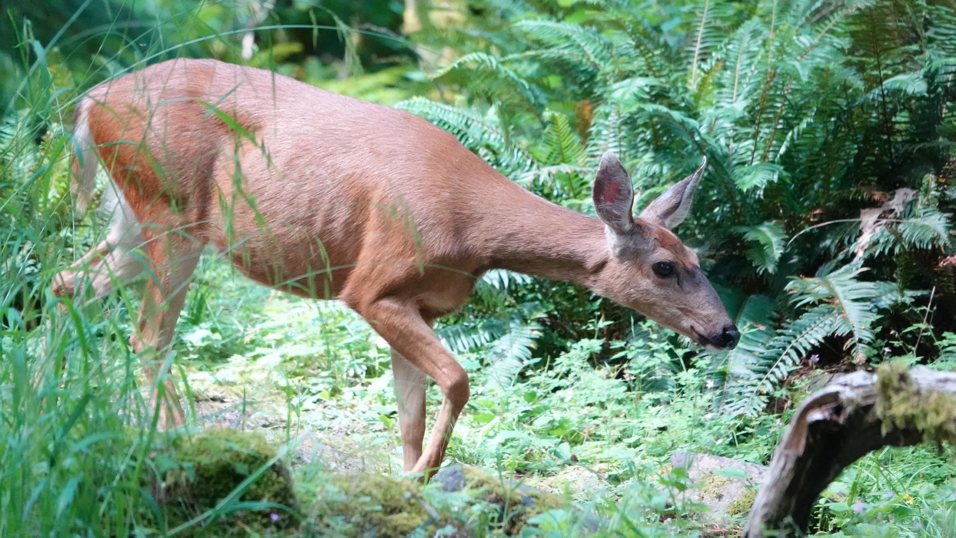
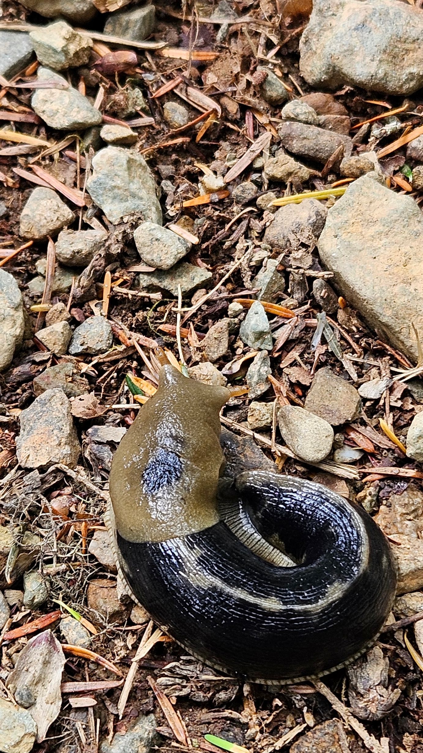
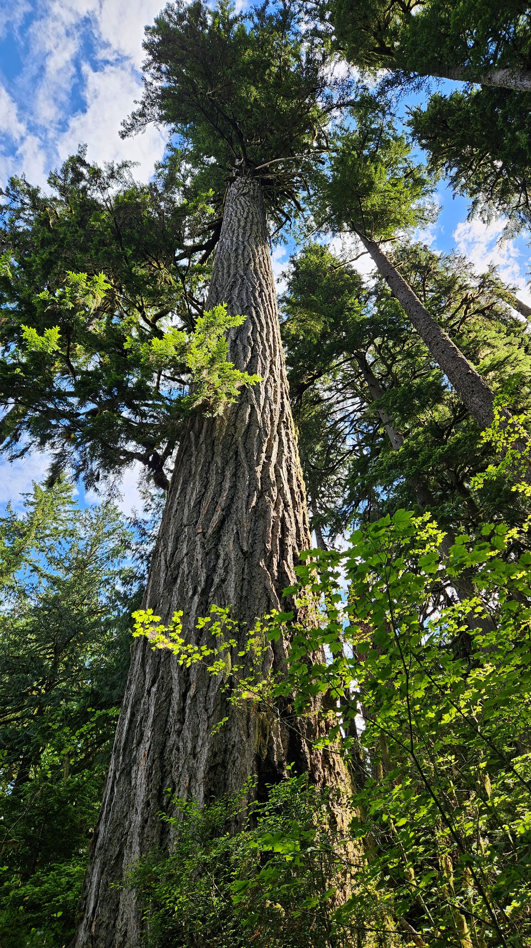
I enjoyed our shady walk in the woods care of the large cedars and Douglas firs in this area. We heard a number of birds and managed to spot a mule deer as well as a number of Pacific banana slugs.
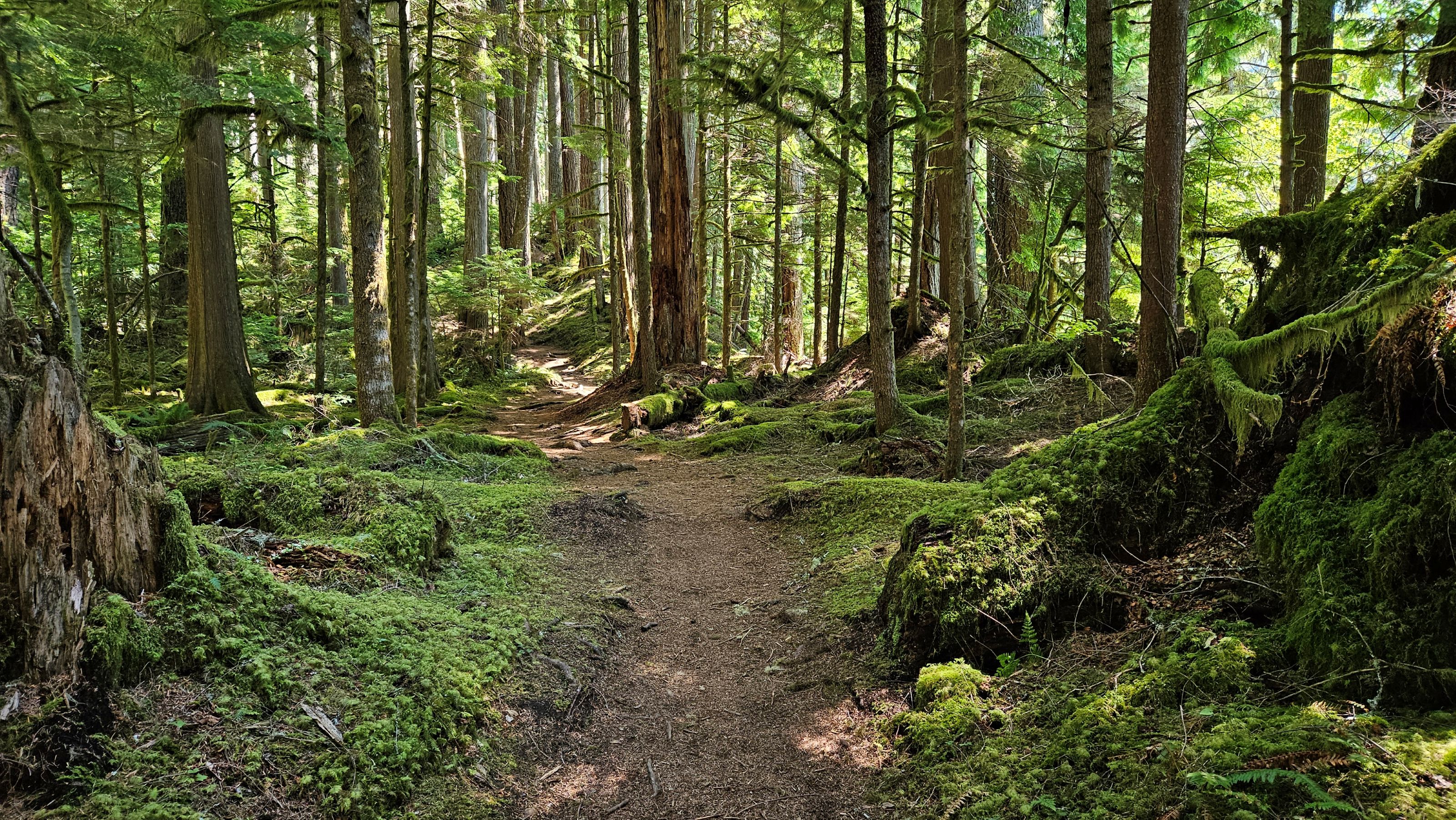
Notes on trail conditions: Early on in our hike, we navigated some trail sections that have washed out. In those instances, there were boards and stones we could use to avoid the mud and water. There was also a downed tree, but it fell parallel to the trail and was easy to skirt alongside.
The river crossing was more of a challenge as the bridge has completely washed out. We followed the advice on WTA and headed a bit up river where there were larger rocks and it was shallower. While we didn’t have major issues making our crossing, we appreciated having our trekking poles for balance!
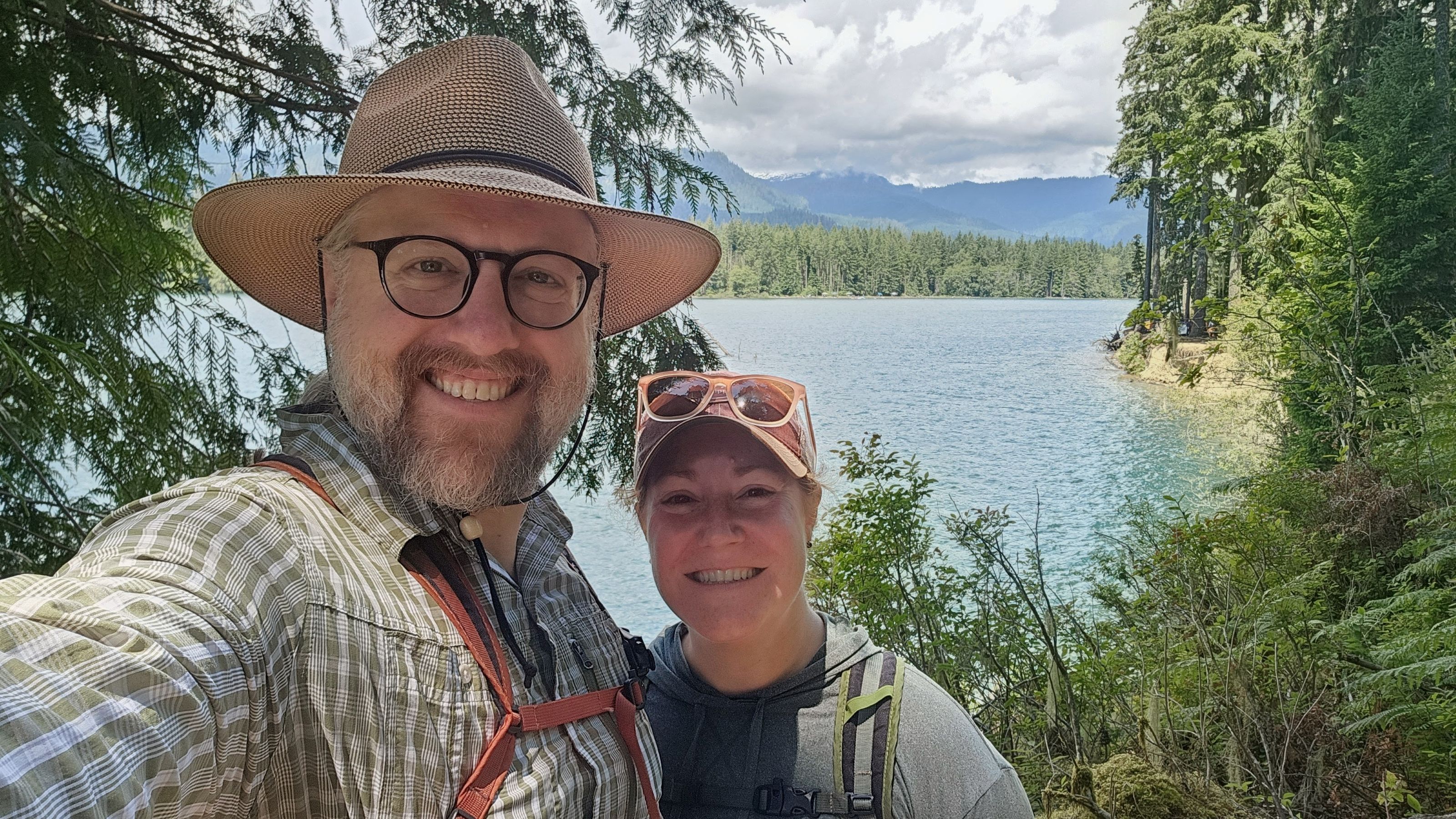
The trail was in great shape beyond the river all the way to Maple Grove Campground, which is situated along Baker Lake. We hiked down to the water and took a couple pictures of the lake and mountains before climbing back up to the trail and returning to the trailhead.

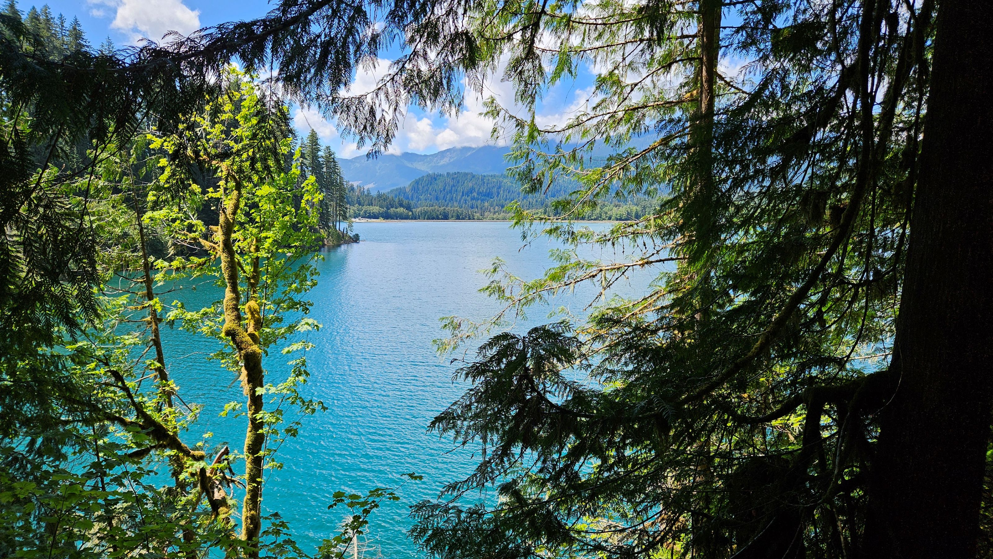
While we skipped it on our hike in, we did take a moment to admire the view from the Anderson Point campground on our way back to the car.
The water was a gorgeous teal-blue and the sun was out, lighting up the nearby shore and mountains. The people enjoying the view from their campsites had the right idea – I may need to keep this area in mind for future camping trips!
Overall our hike was 7.6 miles / 12.2 km and 482 feet /147 meters of gain.
While we considered this an easy hike, we both had sore calves the following day so something about the rolling terrain resulted in a better-than-expected workout! I’d definitely hike along this trail again.


Pingback: Washington Hikes: Sauk Mountain – Heather's Compass