 Our first hike of the new year was a memorable one, replete with snow, history, ferry rides, and a kitchy burger joint.
When we took a bike trip around the lower Olympic Peninsula last fall, I pulled a number of possible hikes we could do along the way. We ultimately landed on hiking Mount Walker, but another one that caught our eye was the Tubal Cain Mine trail, which has a jog to a plane crash site. This one was well off the main route and didn’t appear to be a good one to tackle on the motorcycles, so I tagged it in my Washington Trails Association account for later.
‘Later’ turned out to be this past weekend. We woke up bright and early and caught the first ferry to Kingston at 6:10 a.m. I believe that was my first time riding the ferry in the dark!
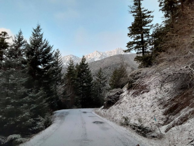
The sun started rising behind us as we navigated across the peninsula toward route 101 and our turn onto the forest service roads that would lead us up to the Tubal Cain Mine trailhead. Once we were on the forest service roads, Google Maps got lost and we were without cell service. Thankfully we had taken screen shots of the WTA directions, which were easy to follow and took us right to the trailhead.
The road got very narrow and steep in places and there were a few potholes and rocks to avoid. Otherwise it was in much better condition than I was expecting. That said, it was much longer than I was expecting—it was 21 miles to wind our way up into the mountains to the trailhead from the main road! We both agreed that despite the breathtaking viewpoints, it was not a great motorcycle road. We made the right choice visiting this one via car.
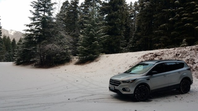
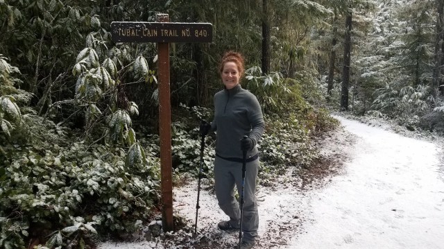
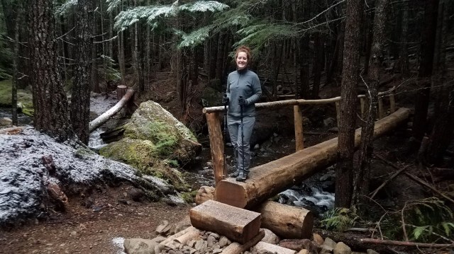
There was no one at the trailhead when we set off at 8:30 a.m., and it was an easy, peaceful hike through mossy trees.
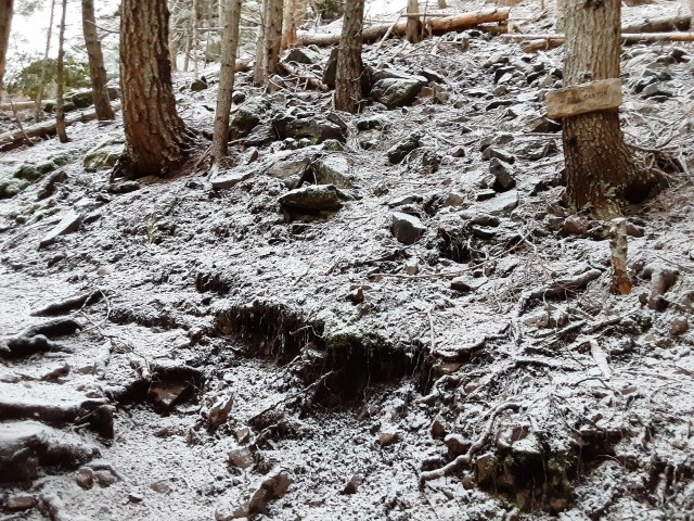
It started to snow as we hiked, and before too long it began accumulating on the trail. While we were fine with our trail shoes and hiking poles, we decided to keep an eye on how much was falling in case we needed to head back and get down from the mountain while the road was still passable.

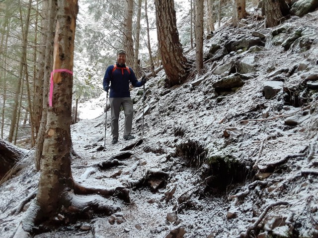
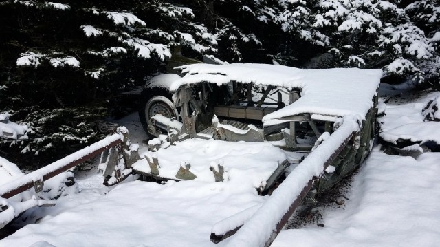
We had read online that there was a split off the main trail we needed to catch in order to head toward our destination, which was the 1952 crash site of a B-17 plane. Several hikers on WTA mentioned they walked by the Tull Canyon sign — we almost did too!
At the last minute, Brian spotted the mine entrance on the hill to our left, and as we turned to look up at it, we noticed the tiny wooden Tull Canyon sign where we were supposed to turn (see if you can spot it in the photo below).
At this point we pulled on and donned our ice trekkers. The trail from this point forward headed straight up, ascending about 450 feet over half a mile. There was even more snow accumulation, it was icy on the larger rocks, and it was quite steep — I was really glad we had our trekkers as well as our trekking poles, which allowed us to quickly scale to the top.

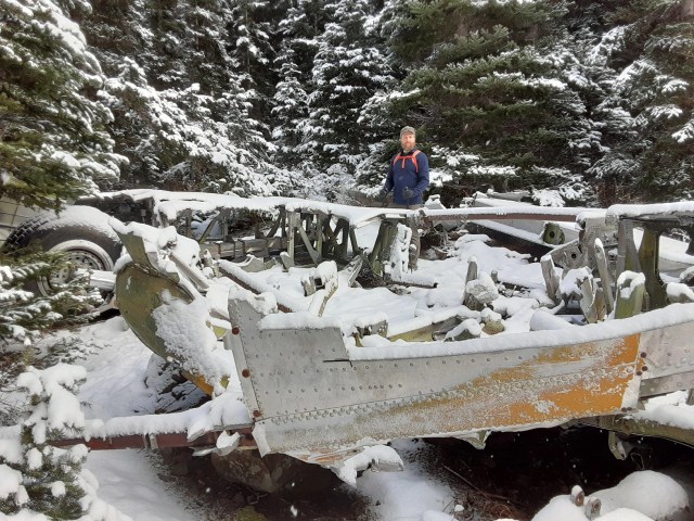
The snow fall stopped just as we got to the crash site – we almost missed it as well, but I was waving my arm around to let Brian know my FitBit had hit 10,000 steps and he misinterpreted my gesture as an indication I had discovered debris.
When he looked around for the debris, he actually found it – we were there!
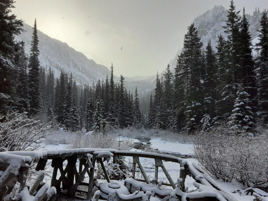
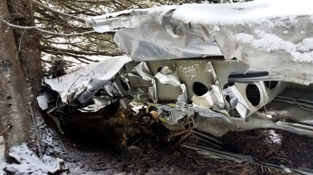
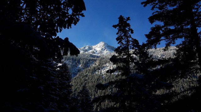
It was absolutely silent in the snow-covered valley, which seemed appropriate given three men died at this site in the 1952 plane crash. Only as we wandered around exploring the place did the sun slowly break through the clouds over the mountains.
We waded through about six inches of snow from one piece of debris to another, sometimes stumbling upon something we hadn’t noticed due to the snow. It was incredible seeing it this time of year, but we both realized we probably missed much of the remains because they were buried – if you really wanted to see the debris, it would be better to come another time of year.


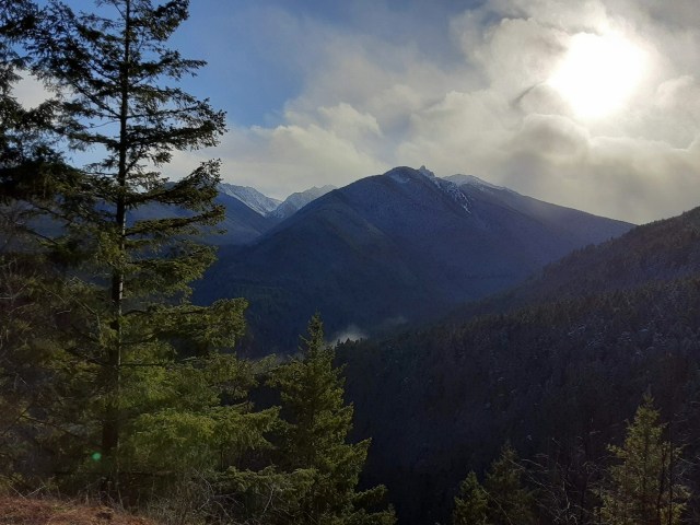
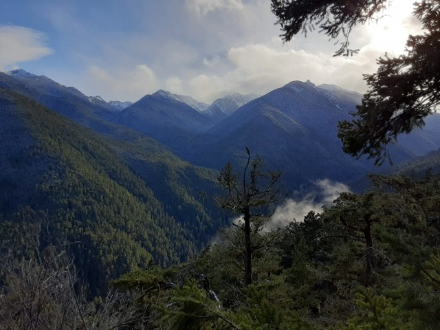
I started to get cold so we wrapped up our investigation and made our way back to the main trailhead. The sun was out in full force at this point and blue skies prevailed—we stopped to take pictures through the trees when we found viewpoints. The mountains were marvelous!
Close to the trailhead we passed one couple and their dog, Jessica. Otherwise we had the entire 8 miles and 1,457-foot gain experience to ourselves. The hike was just under 4 hours long, including 30 minutes walking around the crash site, and by the time we were back in the car I was starving!

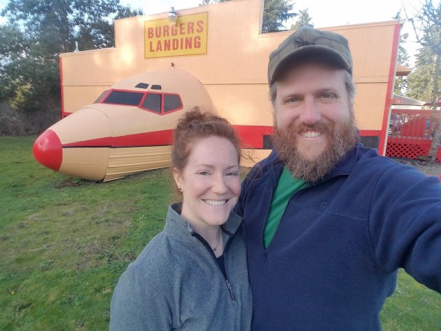
After winding our way back down the mountain toward the peninsula, we set out for our final destination – Burgers Landing. Brian had stumbled upon this takeout burger joint on a solo bike loop he tackled while I was in school, and he thought it more than appropriate we check out this kitchy airplane-inspired lunch spot given our B-17 hike.
The burgers were pretty good, and the fries were even better! It was the perfect end to our Olympic Peninsula experience.

We were able to catch the 4 p.m. ferry back to Edmonds and got home just as the sun was going down. It was a really long day—six hours in the car for a four-hour hike—but it was wonderful spending some more time on the Olympic Peninsula and in the snow!
